
@flywave/flywave.gl
v0.0.11
Published
WebGl GIS


Readme
🌍 Flywave.gl


![]()

一个基于 TypeScript 构建的开源 3D 地图渲染引擎
使用 WebGL 和 Three.js 创建高性能、可扩展的 3D 地图可视化解决方案
项目简介
@flywave/flywave.gl 是 flywave.gl 项目的完整功能包,集成了所有核心模块,提供了一个功能齐全的 3D 地图渲染引擎。该包采用模块化设计,旨在提供一个高性能、可扩展且模块化的 3D 地图渲染解决方案。
您可以使用此引擎来:
- 🌍 开发视觉上吸引人的 3D 地图 - 利用 WebGL 技术创建沉浸式地图体验
- 🎨 使用 WebGL 创建高度动画和动态的地图可视化 - 基于流行的 three.js 库
- 🎨 创建可动态切换的主题地图 - 支持多种地图样式和主题
- ⚡ 通过高性能的地图渲染和解码创建流畅的地图体验 - Web Workers 并行化 CPU 密集型任务
- 🔧 模块化设计地图 - 可以根据需要交换模块和数据提供者
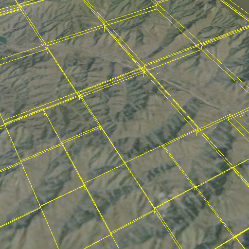
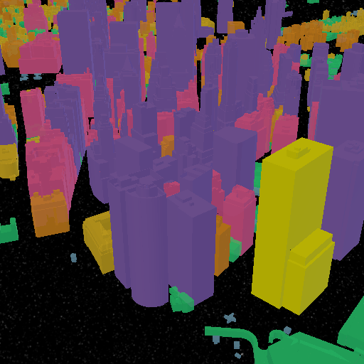
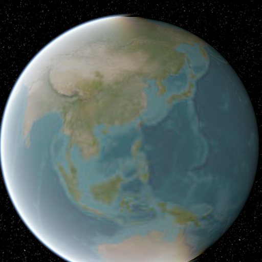
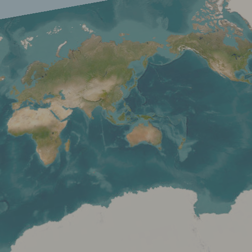
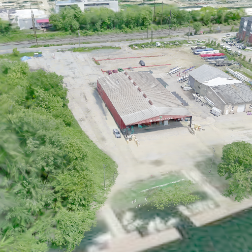
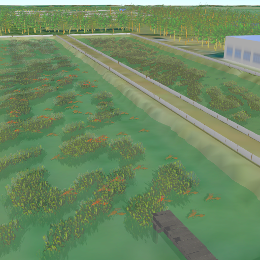
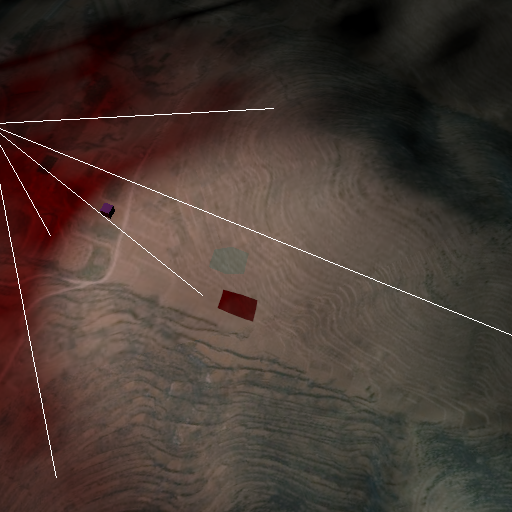
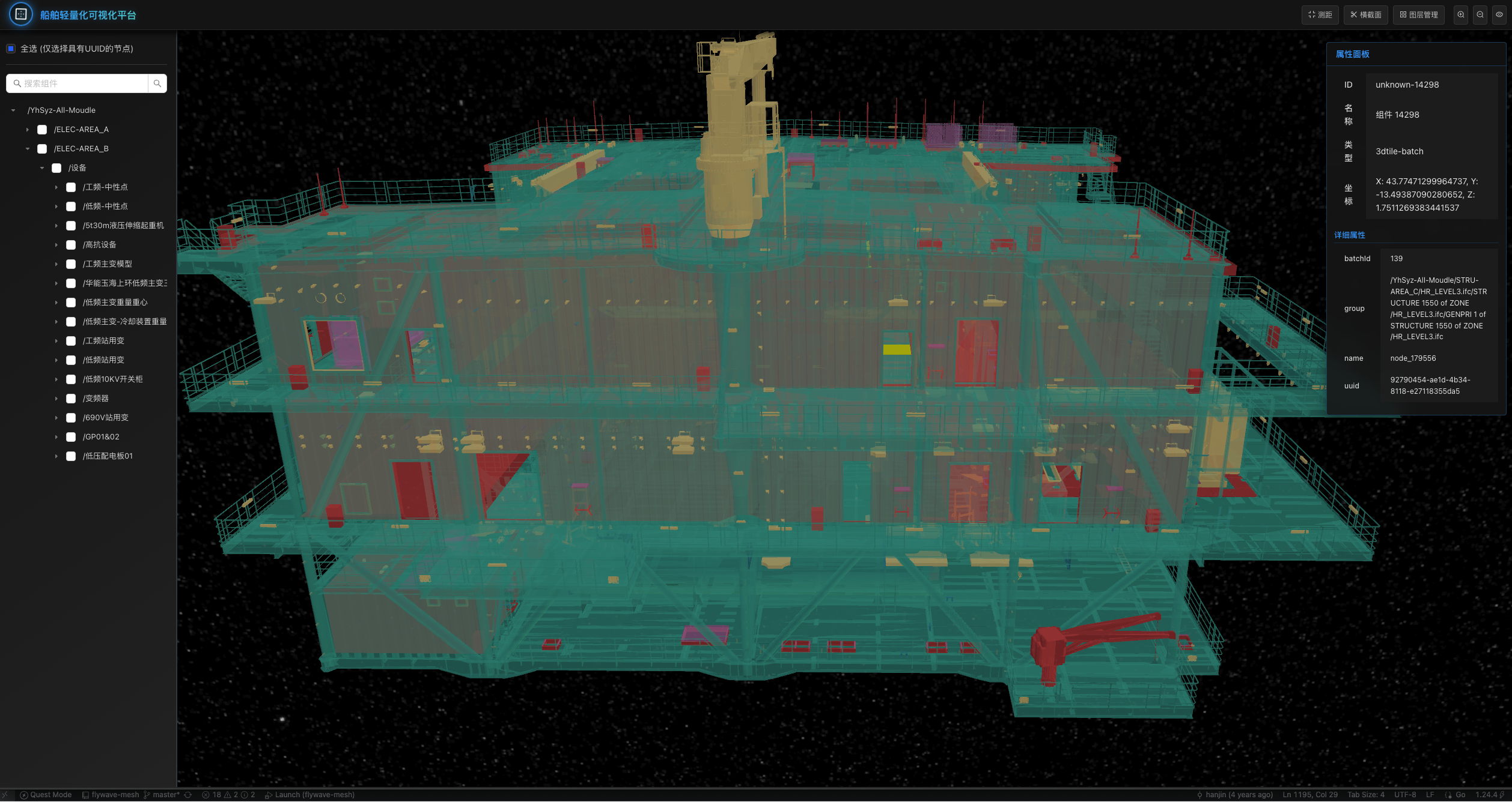
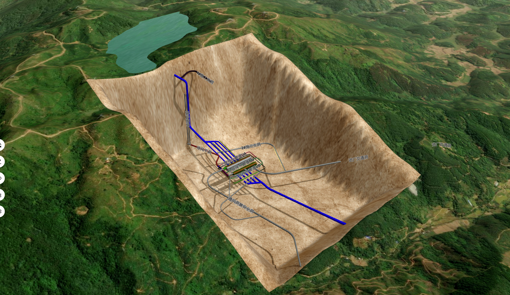
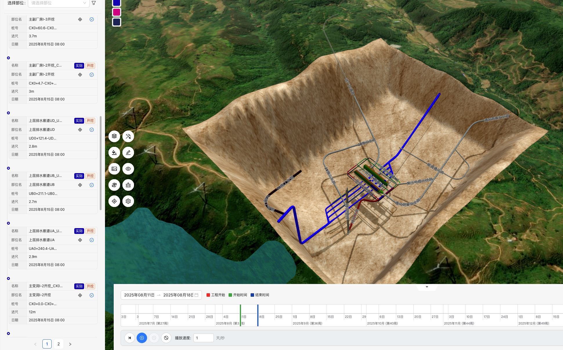
系统截图
| | | |
|:---:|:---:|:---:|
| 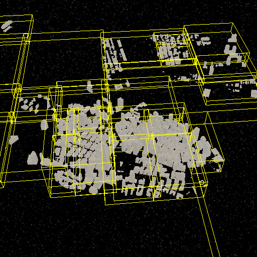 |
|  |
|  |
|
| | | |
|:---:|:---:|:---:|
|  |
|  |
|  |
|
| | | |
|:---:|:---:|:---:|
|  |
|  |
|  |
|
| | | |
|:---:|:---:|:---:|
|  |
|  |
|  |
|
文档
- 完整文档 - API 文档、教程、最佳实践
- 示例集合 - 功能示例、代码片段
- 开发指南 - 环境搭建、构建说明
- 快速开始 - 安装、基本使用
- 问题反馈 - Bug 报告、功能建议
- 社区讨论 - 技术交流、使用帮助
快速开始
环境要求
- Node.js >= 22.15.0 (检查命令:
node --version) - pnpm >= 9.0.0 (检查命令:
pnpm --version)
安装
使用 pnpm (推荐):
pnpm add @flywave/flywave.gl或使用 npm:
npm install @flywave/flywave.gl代码中使用
import {
    MapView,
    GeoCoordinates,
    MapControls,
    sphereProjection,
    ArcGISWebTileDataSource
} from "@flywave/flywave.gl";

// 初始化地图视图
const mapView = new MapView({
    projection: sphereProjection,
    target: new GeoCoordinates(39.9042, 116.4074), // 北京坐标
    zoomLevel: 10,
    canvas: document.getElementById("mapCanvas")
});

// 创建数据源
const webTileDataSource = new ArcGISWebTileDataSource();

// 添加数据源到地图
mapView.addDataSource(webTileDataSource);

// 添加控制以支持用户交互
const mapControls = new MapControls(mapView);
核心功能
- 🚀 高性能渲染: 利用 WebGL 和现代图形技术实现流畅的 3D 地图渲染
- 🔧 模块化设计: 可以根据需要选择和组合不同的功能模块
- 🎨 可扩展主题: 支持动态切换和自定义地图主题
- 🗺️ 多数据源支持: 支持多种地图数据源格式
- 🖱️ 丰富的交互功能: 提供完整的地图交互和控制功能
- 🌍 多种投影方式: 支持球面、平面和椭球投影
- 🏔️ 地形支持: 内置数字高程模型 (DEM) 支持
许可证
Copyright © 2022-2025 Flywave 项目作者
Licensed under the Apache License, Version 2.0.