
iran-vector-maps
v0.6.0
Published
Accessible, data-driven SVG administrative maps for React, with first-class Iran support.

Maintainers
 mobinkaram
Readme
iran-vector-maps
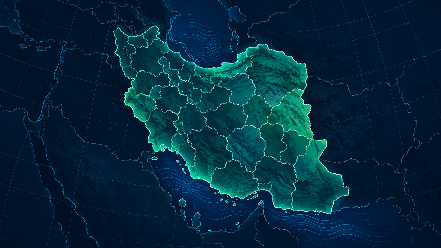
An accessible, native-SVG administrative map component for React. It accepts your own GeoJSON-compatible boundaries and metric values, so it can be used for births, population, sales territories, service coverage, elections, or AI-generated analyses without a map provider, iframe, canvas, or API key.
See the interactive Persian/English demo and integration guides at https://mobin-karam.github.io/iran-vector-maps/.
Install
Install the renderer and, when you need the maintained Iran layer URLs, the optional data companion:
npm install iran-vector-maps
npm install iran-vector-maps-data # optional Iran geographic assets
Basic use
import { IranAdminSvgMap, IranMapLegend, parseMapValuesCsv, validateMapFeatureCollection } from 'iran-vector-maps'
import 'iran-vector-maps/styles.css'
import provinces from './iran-provinces.geo.json'

const births = { 'IR-05': 12840, 'IR-07': 43990 }

export function BirthMap() {
  const validation = validateMapFeatureCollection(provinces)
  if (!validation.valid) return <pre>{JSON.stringify(validation.issues)}</pre>
  return <IranAdminSvgMap
    data={provinces}
    values={births}
    selectedId="IR-05"
    onRegionClick={(province) => console.log(province.id, province.nameFa)}
    onRegionHover={(province) => console.log(province?.nameFa)}
  />
}
CSV and tooltip helpers
parseMapValuesCsv accepts regionId,value columns, including Persian/Arabic digits and thousands separators. Use findUnknownRegionIds before merging imported values into a layer. IranMapTooltip is an optional presentational component; receive pointer coordinates through the second argument of onRegionHover and render it in your app shell.
Each feature must have properties.id and properties.nameFa. nameEn, level, parentId, and any additional metadata are preserved and returned by callbacks.
Query-library adapter
mapValuesFromRecords accepts immutable output from React Query, SWR, Remix loaders, or your own cache—without making this package depend on any of them.
const values = mapValuesFromRecords(query.data ?? [])
// query.data: readonly { regionId: string; value: number }[]
Features
- Native, responsive SVG generated from your polygons or multipolygons.
- Keyboard selection with Enter and Space, visible focus state, and aria labels.
- Controlled selection, hover callback, per-region values, Persian number formatting, and default choropleth colors.
- Continuous, threshold, and equal-interval scales with custom palettes and explicit break values.
- Quantile classification, optional small-region label suppression, and marker/annotation points for facilities or events.
labelMinAreato hide values where the available polygon space is too small.IranMapLegendfor metric explanation, and configurable no-data / color-scale hues.- CSV metric parsing with Persian/Arabic digit support and unknown-region detection.
- Optional pointer-positioned
IranMapTooltipfor host-controlled hover UI. validateMapFeatureCollectionfor agent and import validation, including duplicate IDs and invalid geometry.serializeMapSvganddownloadMapSvgfor host-controlled SVG export.- Custom
getFill,valueFormatter, padding, styles, dimensions, CSS classes, empty state, and accessibility label. - No GPS, no tile dependency, and no viewport controls; this keeps embeds fast and predictable.
AI agent instructions
An agent can use the component safely by supplying verified GeoJSON and a value map. It should never invent an administrative boundary or use a display name as the identifier. The repository’s docs/AI_AGENT_INTEGRATION.md defines the required JSON contract and validation workflow.
Build and package
npm run build
npm pack
npm pack creates the same tarball users install. Review its file list before publishing.
Maintainers publish from the repository by pushing a matching vX.Y.Z tag. The GitHub Actions workflow uses npm trusted publishing and provenance, so it does not require or store an npm token. See the root release policy for the one-time npm configuration.
Examples and framework support
Copy-paste examples for Vite, Next.js App Router, Remix, JSON/CSV data imports, RTL, and dashboard maps live in the repository’s examples/ directory. The component is SSR-safe to import: it accesses browser APIs only when rendering or exporting SVG in the browser.
License and data
Package source code is MIT licensed. The package does not bundle Iran boundaries: applications provide their own GeoJSON-compatible data. If you use the companion demo data, follow the provenance and attribution notes in the repository’s DATA_SOURCES.md.